The six in full
Facts, what you’ll see, the honest bits, and how to bail out
of each.
1
Fusine Lakes + Rifugio Zacchi
Italy · over the border via Rateče
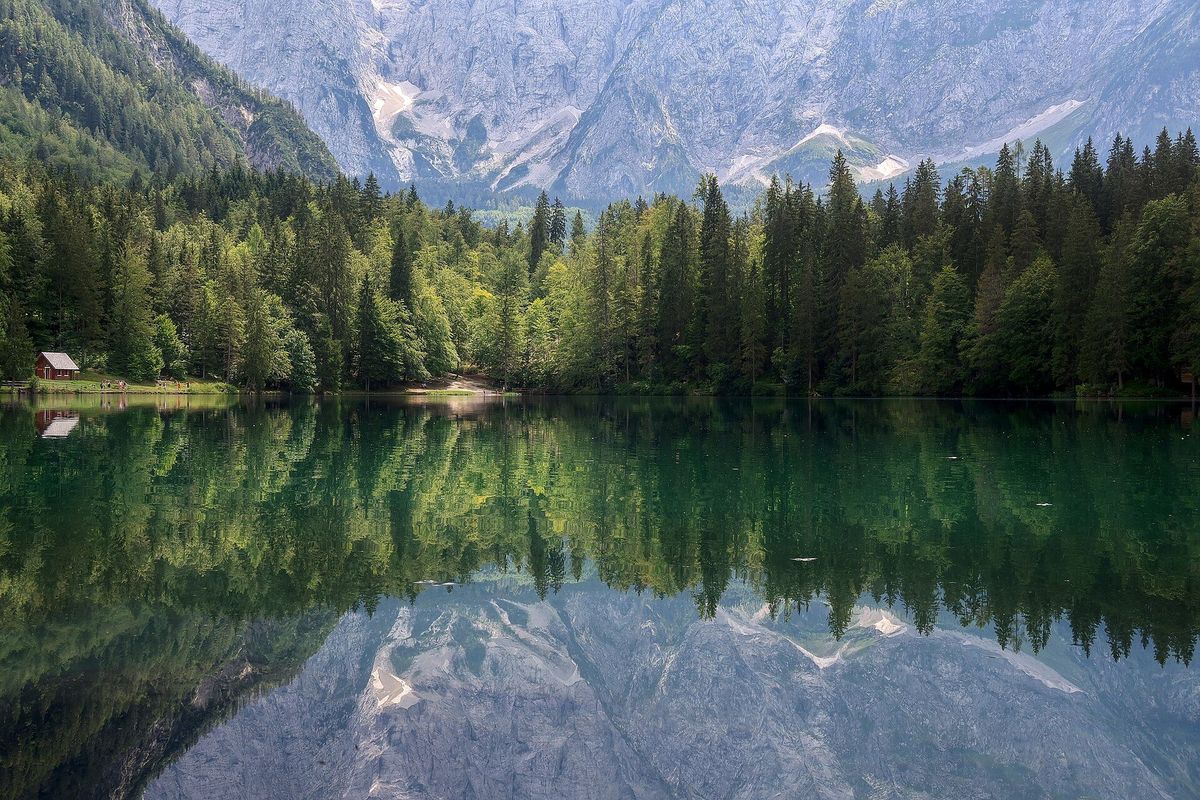
Photo: Julien Seguinot · CC BY-SA 2.0 · via Wikimedia Commons · shot in July
Photos, left to right: JakobZ (CC BY-SA 3.0, Aug) · Frerk Meyer (CC BY-SA 2.0, Jul) · Julien Seguinot (CC BY-SA 2.0, Jul) — via Wikimedia Commons
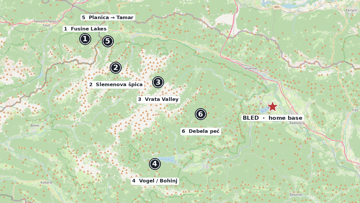
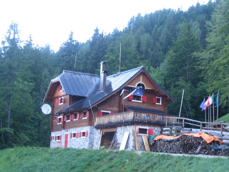
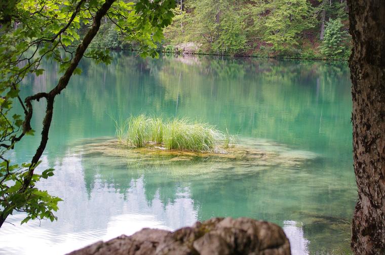
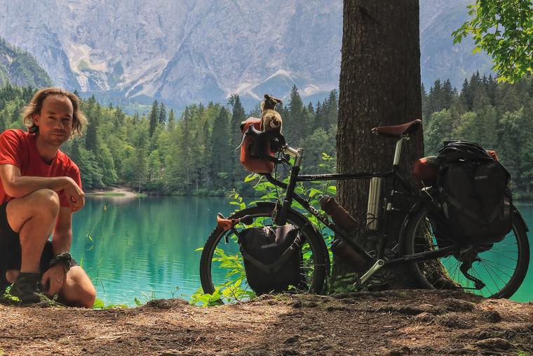
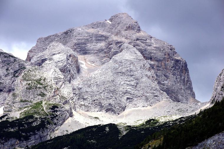
Two lakes just over the Italian border, and the lower one does the mirror trick — the whole 1,500 m Mangart wall laid out upside down on the water. Walk the flat loop if that is all you fancy. Or take trail CAI 512 up through wide, shady forest to Rifugio Zacchi, where frico and polenta and strudel are waiting. Because it is shaded nearly the whole way, this is the one option that is genuinely happy with a midday start.
The facts
| Drive from Bled | ~50 min, via Rateče |
| Parking | Upper lake, ~€5/day — approx (Aug 2026) |
| Trail | CAI 512 from the upper-lake car park |
| Walking time | 1h15–1h30 up · ~45 min down |
| Ascent | ~300 m |
| Surface | Wide forest track, mostly shaded |
| Destination | Rifugio Zacchi, 1,380 m · 4.5★ |
What you’ll see
- The lower lake’s mirror reflections of the Mangart wall, 1,500 m high.
- Flat, easy loop walks around both lakes.
- A wide, mostly-shaded forest track the whole way up.
The honest bits
- A parking hunt at midday — the upper lot is busy in August. The lower-lake lot is the fallback.
- The final stretch steepens slightly.
- We take trail 512 up and back only — not the “Anello / Porticina” loop variant, which has exposed sections.
Turnaround & bail-out
The flat lake loops are a lovely outing entirely on their own — if the climb does not appeal on the day, we simply stay down by the water. On 512 it is the same track up and back, so we can turn around at any point and lose nothing.
Food
Rifugio Zacchi at the top — frico, polenta, strudel. Worth a WhatsApp to +39 333 308 0555 the evening before to check it is cooking.
↑ back to the top
2
Slemenova špica, from the Vršič Pass
Slovenia · the Vršič pass top
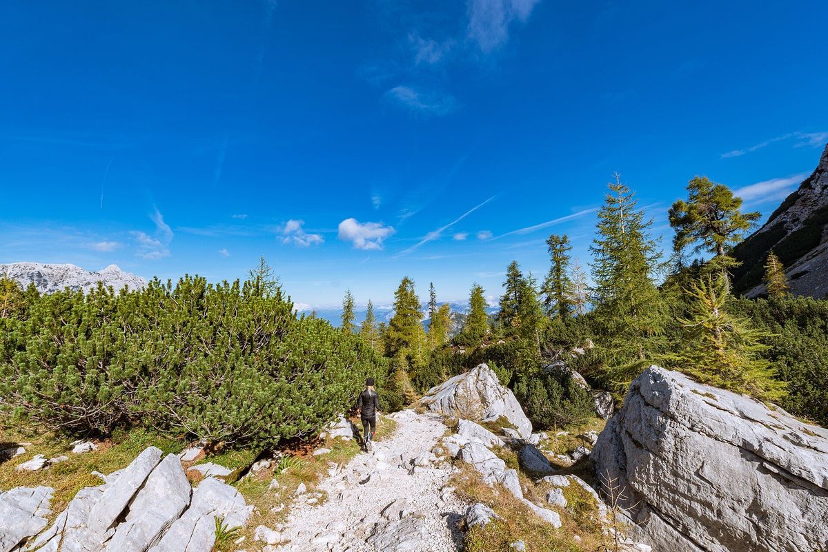
Photo: Dreamy Pixel · CC BY 4.0 · via Wikimedia Commons
Photos, left to right: Frerk Meyer (CC BY-SA 2.0, Jul) — via Wikimedia Commons
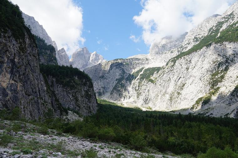
This is the one on all the postcards, and it thoroughly earns it. You start at the top of the Vršič pass, wander up through larches, and then the trees open onto meadows and a ridge that looks straight across at Jalovec’s rock pyramid. An hour and a quarter each way, with a gentle 250 m of climbing in it. Hats are non-negotiable — the sun up there is very sincere.
The facts
| Drive from Bled | ~55 min, to the pass-top car park |
| Parking | Regulated, ~€3/hr — approx (Aug 2026) |
| Walking time | 1h15 each way |
| Ascent | ~250 m |
| Surface | Larch woods, then open meadow; rocky steps in places |
| Best started | Walking by 12:30 |
| Destination | The ridge facing Jalovec |
What you’ll see
- Larches first, then open meadows opening onto the ridge.
- Jalovec’s rock pyramid dead ahead — Slovenia’s classic postcard hike.
The honest bits
- Parking is the crux of this one: it is regulated and it fills. The huts slightly below the pass are our fallback.
- Rocky steps in places.
- Big sun exposure — hats, water, and walking by 12:30.
- No food at the top, so we eat before or after.
Turnaround & bail-out
Out and back along the same path, so turning round early costs us nothing but a shrug. If the pass-top car park is full, we drop to the huts just below and make it a hut lunch instead — no drama either way.
Food
Nothing at the top. Tičarjev dom and Erjavčeva koča sit near the pass, so we eat before we set off or when we come back down.
↑ back to the top
3
Vrata Valley: the Triglav North Face
Slovenia · Mojstrana, then the valley bus
●○○○○
Effort 1 / 5 · Scenery 5 / 5
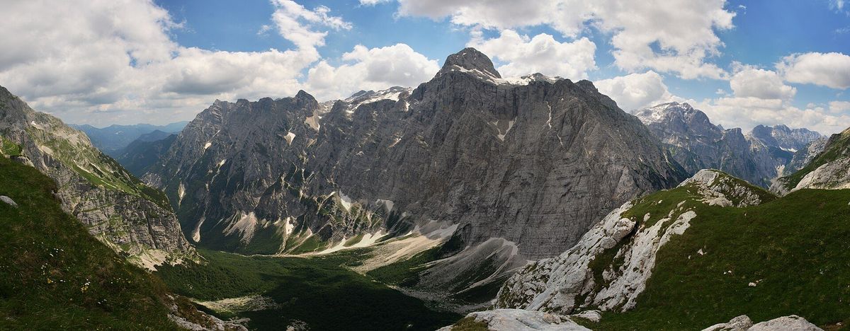
Photo: Javier Sanchez Portero · CC BY-SA 2.0 · via Wikimedia Commons · shot in July
Photos, left to right: Bojan Marušič (CC BY-SA 4.0, Jul) — via Wikimedia Commons
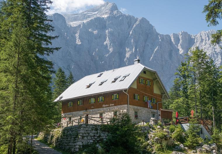
The easiest walking of all six, attached to far and away the biggest view. Park at Mojstrana, hop on the free valley bus, and step off at Aljažev dom into a flat green valley floor. Above you sits a wall a kilometre high and three kilometres wide — the biggest rock face in the Eastern Alps. Wander thirty to sixty minutes to the Kugy monument viewpoints, then goulash at the hut.
The facts
| Drive from Bled | ~45 min, to Mojstrana’s Prodi P+R |
| Getting in | FREE valley bus to Aljažev dom (runs to 30 Sep) |
| Seat reservation | Optional, ~€3 — approx (Aug 2026) |
| Walking time | 30–60 min, entirely flat |
| Ascent | Valley floor — essentially none |
| Surface | Flat valley floor from the hut |
| Destination | Aljažev dom, 1,015 m · 4.7★ |
What you’ll see
- The Triglav north face — 1,000 m high, 3 km wide, the biggest rock face in the Eastern Alps.
- The Kugy monument viewpoints, a flat half-hour’s wander from the hut.
- Optional en route: the Peričnik waterfall.
The honest bits
- We take the bus rather than drive: the road in is narrow, 10 km and part gravel, with a paid lot at the end.
- The Peričnik waterfall costs about 20 minutes of steps — completely skippable, and no one will mind if we skip it.
Turnaround & bail-out
There is nothing here to bail out of. The walking is flat and the hut is the anchor — we go as far as feels good, thirty minutes or sixty, and turn round whenever. The bus does all the real work.
Food
Aljažev dom — goulash and štruklji.
↑ back to the top
4
Vogel Cablecar + a Bohinj Swim
Slovenia · Ukanc, Lake Bohinj
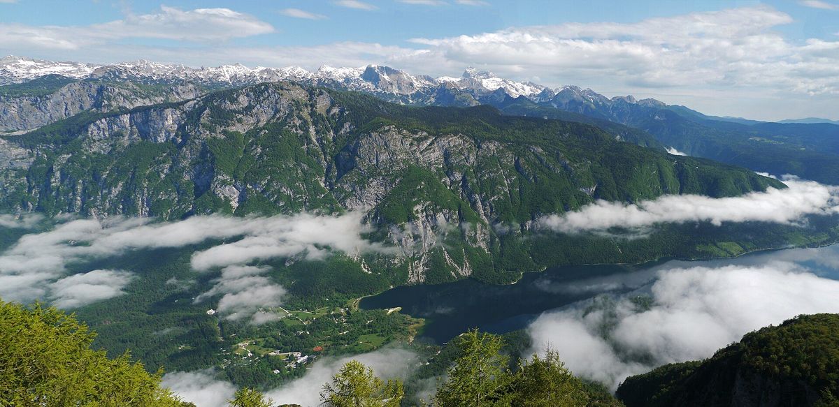
Photo: chensiyuan · CC BY-SA 4.0 · via Wikimedia Commons · shot in June
Photos, left to right: biosynthesis24 (CC BY 2.0, Jul) · Nick Savchenko (CC BY-SA 2.0, Jul) — via Wikimedia Commons
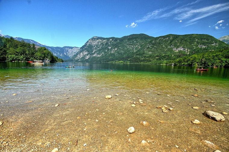
Four minutes in a cablecar buys you 1,535 m, wildflower meadows, cowbells and the whole Triglav panorama, with no climbing whatsoever involved. Stroll the gentle paths as much or as little as you like, ride the free chairlift higher if you are curious, then come down and get into Lake Bohinj. In August that water is properly, genuinely warm. This is the hot-clear-day pick.
The facts
| Drive from Bled | ~40 min, to Ukanc |
| Cablecar | ~€33 return — approx (Aug 2026) |
| Running hours | 8:00 – 18:00 |
| The ride | 4 minutes, up to 1,535 m |
| Walking time | Gentle paths — as much or as little as you like |
| Ascent | The cablecar does all of it |
| Extra | Free Orlova glava chairlift extends the top |
What you’ll see
- Wildflower meadows, cowbells, and the Triglav panorama from 1,535 m.
- The free Orlova glava chairlift, if we want to go a little higher.
- Bohinj’s north shore afterwards — properly warm swimming in August.
The honest bits
- Gentle paths only for us. The Vogel summit trail has chains and is firmly off-menu.
- The cablecar runs 8:00–18:00, so the last ride down sets the shape of the day.
Turnaround & bail-out
This one is all optional extras. The top station on its own is a complete outing — meadows, view, lunch, back down. Everything past that is a choice we make in the moment, and the swim is always waiting at the bottom.
Food
Self-service food at the top station.
↑ back to the top
5
Planica → Tamar Valley, with Zelenci
Slovenia · Planica Nordic Centre
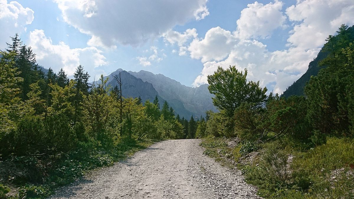
Photo: J.O. · CC BY-SA 4.0 · via Wikimedia Commons · shot in August
Photos, left to right: Lan G. (CC BY-SA 4.0, Jul) · deargdoom57 (CC BY 2.0, Jul) — via Wikimedia Commons
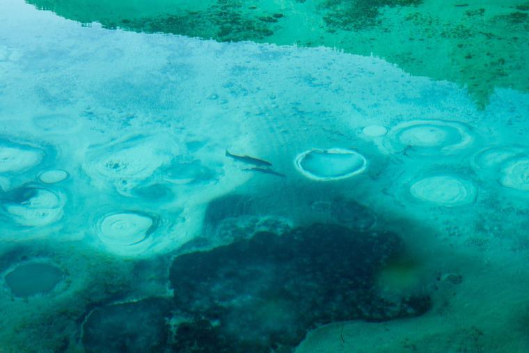
The gentlest full outing on the menu: a wide gravel valley road, forty minutes each way, and a hundred and twenty metres of gain you will barely register — with Jalovec framed dead ahead the entire walk. There is food at Dom v Tamarju when we get there. Then on the way home we stop at Zelenci, five minutes of boardwalk to an emerald spring with sand visibly boiling in crystal water.
The facts
| Drive from Bled | ~40 min |
| Parking | Planica Nordic Centre, ~€4 — approx (Aug 2026) |
| Walking time | ~40 min each way |
| Ascent | ~120 m, gentle |
| Surface | Wide gravel valley road |
| Destination | Dom v Tamarju (food) |
| On the way home | Zelenci — free car park, 5-min boardwalk |
What you’ll see
- Jalovec framed dead ahead for the entire length of the walk.
- The world-record ski-flying hill, right there at the car park — about €4 to go in if we are curious, approx (Aug 2026).
- Zelenci nature reserve: an emerald spring with the sand visibly boiling in crystal-clear water.
The honest bits
- Genuinely gentle throughout — 120 m spread over 40 minutes of wide gravel road.
- It is an out-and-back on the same road, so the way home looks like the way out.
Turnaround & bail-out
Turn back at any point and it is still a good walk — the valley view is there from the start. Zelenci is completely separate: a free car park and a five-minute boardwalk, so it stays on the table even if we skip the valley entirely.
Food
Dom v Tamarju, at the end of the valley road.
↑ back to the top
6
Debela peč via Lipanca
Slovenia · Pokljuka plateau · the modular summit
●●○○○
Stage 1 — effort 2 / 5 · Summit — effort 4 / 5
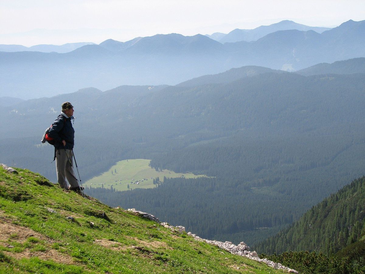
Photo: NH53 · CC BY 2.0 · via Wikimedia Commons · shot in August
Photos, left to right: Jernej Furman (CC BY 2.0, Aug) · MZaplotnik (CC BY-SA 3.0, Jul) — via Wikimedia Commons
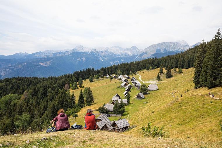
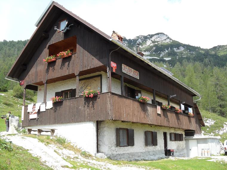
The closest drive of the six and the cleverest shape, because we decide how big it gets over lunch rather than over breakfast. Stage one is an easy forest hour to Blejska koča and its pasture terrace. Stage two — only if it appeals, and only decided there — is famously the easiest 2,000er in the park: an open meadow ridge to a summit facing Triglav’s entire east face.
The facts
| Drive from Bled | ~35 min — the closest of all six |
| Parking | Medvedova konta forest car park — informal, free |
| Stage 1 · walking | ~1 h to Blejska koča na Lipanci |
| Stage 1 · ascent | ~280 m, easy forest track |
| Stage 2 · walking | ~1h15 each way to the summit |
| Stage 2 · ascent | ~420 m more, to 2,014 m |
| Stage 2 · surface | Open karst meadow ridge, walkable throughout |
What you’ll see
- An easy forest track up to Blejska koča na Lipanci, with food and a pasture terrace.
- Above the trees, an open karst meadow ridge — walkable the whole way, and famously the easiest 2,000er in the park.
- From the top: Triglav’s entire east face across the Krma valley — the biggest summit view of the six.
The honest bits
- Sun-exposed above the treeline.
- A summit bid wants to be topped out by 13:00, which means an 8:30 trailhead start — this is the only option that asks for an early alarm.
- On the way back we stay on the path away from the northern edge.
Turnaround & bail-out
This is the whole point of this one: stage two is decided at the hut, over lunch — never before. Stage one alone is a proper outing with food and a view. And if only one of us fancies the top, that is a solo round trip of about two hours while the other holds the terrace.
Food
Blejska koča na Lipanci — food and a pasture terrace at the top of stage one.
↑ back to the top